Public listings checked 25/10/2026. Dates use each event’s local time. Check organiser details before travelling.
Explore the region
Explore Hervey Bay, Maryborough and coastal towns. K'gari is an island journey requiring suitable transport, access and conditions, not a mainland suburb.
Listings across Hervey Bay, K'gari, Maryborough, Pialba, Scarness, Urangan.
Attractions and places to visit
75 places in this selection. Opening hours, access and admission vary; check the place details.
Pioneer graves help to create a sense of history when visiting the Original Maryborough site, known as the Wide Bay Village, it was first settled by Aldridge and the Palmer Brothers in 1848, although George Furber had set up a store and wharf on the opposite bank a year earlier. It was largely abandoned by the mid 1850s in favour of the deeper port downstream, the city's current location. The town was renamed Maryborough in January 1849 after the death of the Governor's wife, Lady Mary Fitzroy.
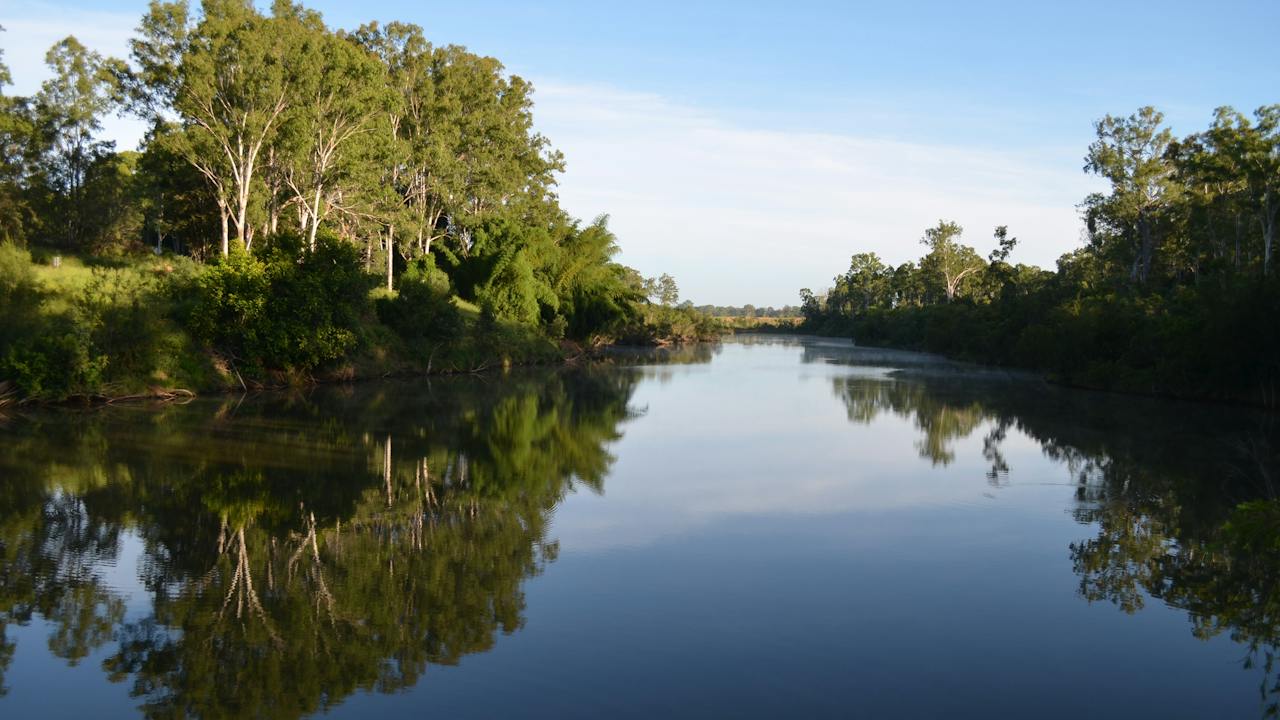
Located on the banks of the Mary River, about four kilometres from the city centre, the 30 hectare site has interpretive signage, walkways and trails along the creek frontage, pioneer graves, picnic tables, barbecue facilities and toilets.
Established in 1927, Maryborough Golf Club QLD is the longest established Golf club in the region. The course is surrounded by perfectly manicured greens with soft, well grassed and tree-lined fairways. Their 18-hole course provides a picturesque environment for members and social players to enjoy a great game of golf.
The layout and natural undulations of the course will appeal to both keen and occasional players. While the course itself is user-friendly, there are plenty of tougher shots at the back of the course for those who love a good challenge.
Overlooking the golf course, Ululah Lagoon and beyond towards Alice Park, Maryborough Golf Club QLD also has functions and events spaces both inside and outside to cater for any event and size.
The main area can cater to up 200 seated guests or 300 comfortable for standing and is fully air conditioned. The bar is fully stocked with all beverages and refreshments.
Whether it be a long lunch, a conference, a cocktail party, or a family gathering, the experienced staff will assist in planning events with flexibility, originality and attention to detail.
Have you ever wondered what a barrage lake looks like? You will find out by setting off on the 3.1 kilometre Lake Wabby Track. This moderate grade walk will take you about 1.5 hours to complete.
If you have not already guessed, the highlight of the trail is Lake Wabby - the deepest freshwater lake on Fraser Island. It sits next to the Hammerstone Sandblow which is slowly moving into the lake. Culturally significant to the local Butchulla Aboriginal people, the lake is a 'must see' on the island. If you decide to swim, take extreme caution as the water looks shallower than it really is.
The walk is a short 1.5 kilometres from the beach (4.1 kilometres north of Eurong) or a 1.7 kilometre hike from the car park off Lake Wabby Road, this walk will take you via the lookout, with some of the most incredible views of the lake.
Lake Wabby is a popular spot for those exploring the numerous sand dunes on World Heritage Listed, Fraser Island.
Located on the outskirts of Maryborough, the Fraser Coast Wildlife Sanctuary offers fun for all the family and a great day out.
A walk through the sanctuary will give you the opportunity to get up close and experience genuine Australian fauna such as kangaroos, wallabies, emus, turtles, native birds. Check out the reptiles and dare to hold a python. Meet and learn all about Australia's largest land predator, the Dingo.
Home to over 200 birds, kangaroos and reptiles, the sanctuary is a registered charity and not-for-profit organisation, managed and run entirely by volunteers with all monies raised go directly back into the care and welfare of the animals.
All ages are welcome and discounts are available for group bookings. The sanctuary is wheelchair friendly.
Pioneer Country Park is an important historical site on the Fraser Coast, with a section of the eastern boundary once part of Eaton Vale Station, the first European occupation in the district. It was also the location for the region's first large scale sugar cane plantation and the main park area was once part of an extensive Chinese Market Garden.
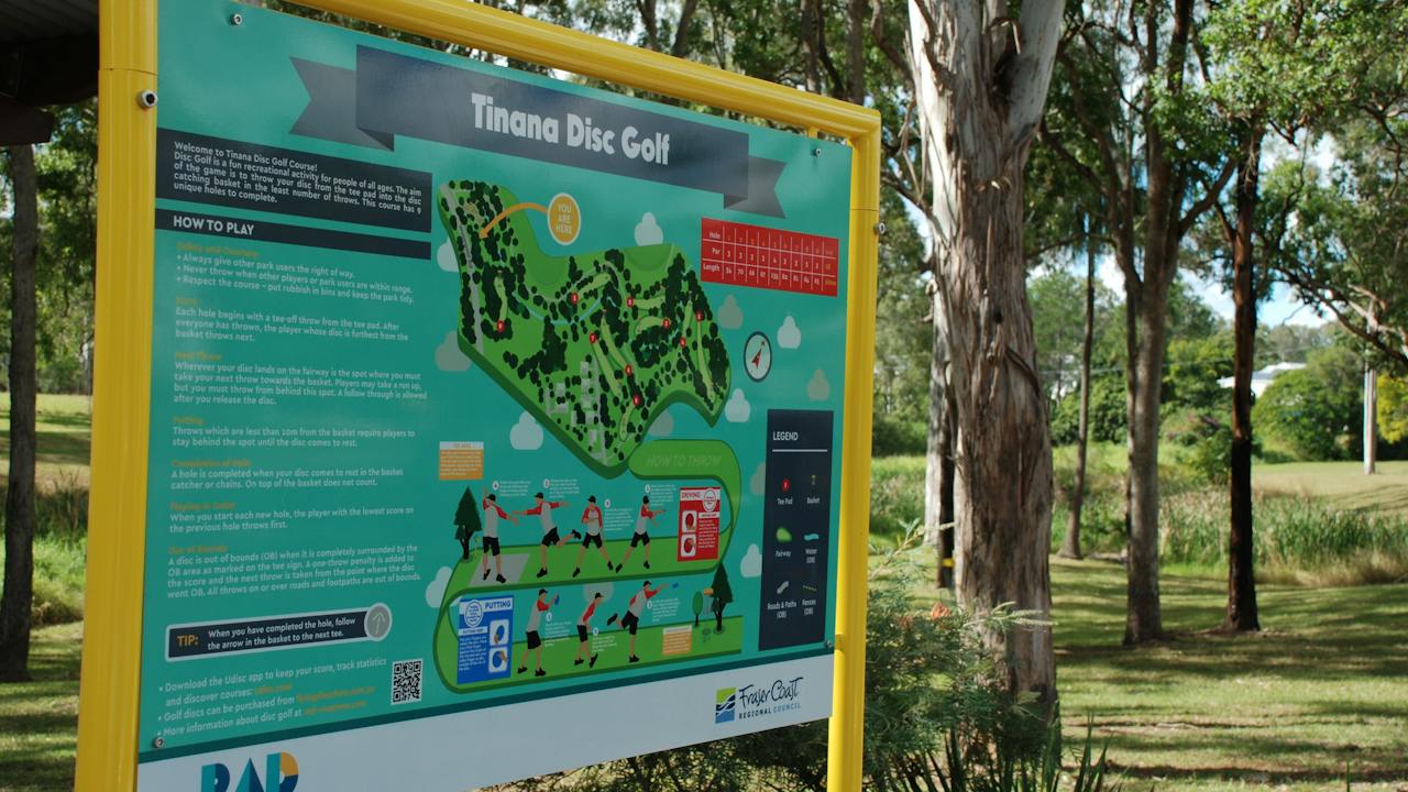
Set on 14.5 hectares of reserve land on the banks of the Mary River, Pioneer Country Park has several walking trails, many with river frontage to explore. A walk and cycle path that winds along the banks of the Mary River also provides the chance for leisurely exercise while taking in a key part of history on the Fraser Coast. There is also a new 'Disc Golf' course installed in the park for people with some frisbee skills.
Lake Lenthall (commonly referred to as Lenthalls Dam) is an ideal picnic and fishing spot with barbecue facilities, picnic shelter and tables, walking tracks and a small boat ramp provided.
Built in 1984 on the Burrum River, about 30 kilometres north-west of Maryborough, Lenthalls Dam is reached by turning off the Bruce Highway about halfway between Torbanlea and Maryborough, and then travelling seven kilometres along an unsealed road.
Visitors need to be aware that access to Lake Lenthall is via a rough dirt road. The road is controlled and maintained by Forest Products, a business unit of the Queensland Government. Accessing Lake Lenthall is at your own risk and a 4WD is recommended. The Lake Lenthall Ranger will not be able to assist with towing vehicles if they become stuck.
Lake Lenthall offers a superb location for anglers with smaller vessels, and is also proving to be a popular fishing location for fly-fishing anglers chasing a variety of popular freshwater species
The lake is officially stocked with Australian bass, barramundi, golden perch (yellowbelly) and silver perch. But there have been reports of saratoga being caught, along with eels, eel-tailed catfish (jew) and the introduced spangled perch. Bass are the main species caught, but barramundi are starting to show and will no doubt make this a noteworthy fishing location in coming years.
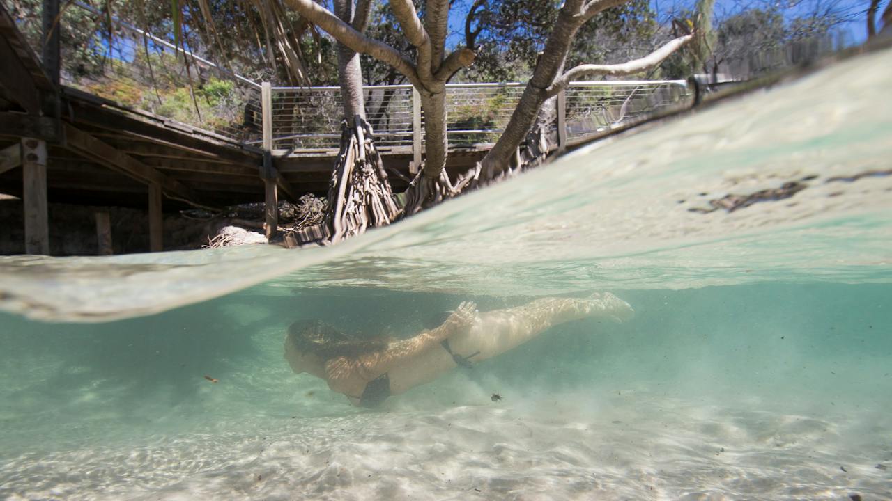
Eli Creek, the largest creek on the eastern beach of K'gari (formerly Fraser Island), pours up to four million litres of clear, fresh water into the ocean every hour. Eli Creek is a popular picnic and swimming spot, with a boardwalk that follows the creek inland through banksia and pandanus. Swimming or floating down the swiftly flowing creek from the bridge at the far end of the boardwalk is an invigorating experience.
Take care when driving through the creek on the beach, as its fast-flowing water can gouge out deep channels. At high tide it’s best to take a break and go for a swim until you can cross the creek at the lower end of the beach.
The Maheno, the most famous of the K'gari (formerly Fraser Island) wrecks, was driven ashore just north of Happy Valley during a cyclone in 1935. Once a well-known trans-Tasman liner, the Maheno was bound for a Japanese wrecking yard when she met her stormy end. Today the hull lies slowly deteriorating in the harsh salt environment, about 10 kilometres north of Happy Valley.
The Maheno is a great piece of Australian history and is a must see for those visiting K'gari.
The Cathedrals on K'gari (formerly Fraser Island) are coloured sand cliffs that have been sculpted by the wind and rain blowing in off the Pacific Ocean. The colours - red, brown, yellow and orange - are spectacular and are best viewed in the early morning light. The size of the cliff faces are a reminder of exactly how large the sand dunes are on K'gari.
The Cathedrals are situated on 75 Mile Beach approximately 18 kilometres south of Indian Head.
It is not hard to guess how this location got its name. Being 75 miles long, there are plenty of spots to stop and go fishing!
Look for deep holes and gutters along the beach that have clear water and some foam on the surface from waves breaking over the sandbar behind. Holes where fish can escape to deeper water are best.
Beach fishing is a year-round activity on K'gari (formerly Fraser Island) but from August to October, the famous Tailor Run sees fishing enthusiasts come from far and wide to experience the battle between man and tailor fish.
Apart from its length, there are many more impressive things about this rugged stretch of sand on the east coast of Fraser Island. It's where you'll find the Maheno shipwreck, the popular swimming spot known as Champagne Pools and the striking volcanic rock formation of Indian Head.
The beach itself is not a safe place to swim due to dangerous currents and a large shark population. It's also a landing strip for light aircraft so be sure to take care when you are cruising along the sand in your four-wheel drive. Also, watch for small streams or washes across the beach highway.
Petrie Park is just one of the many family-friendly parks available on the Fraser Coast. The park is a blissful, shady oasis and is the only access point to the Mary River in the Tiaro area. There is an undercover picnic shelter, onsite barbeque facilities, public toilets and picnic tables.
Petrie Park is located on Van Doorn Road in Tiaro and is one of the Fraser Coasts free camping area for self-contained RV'S.
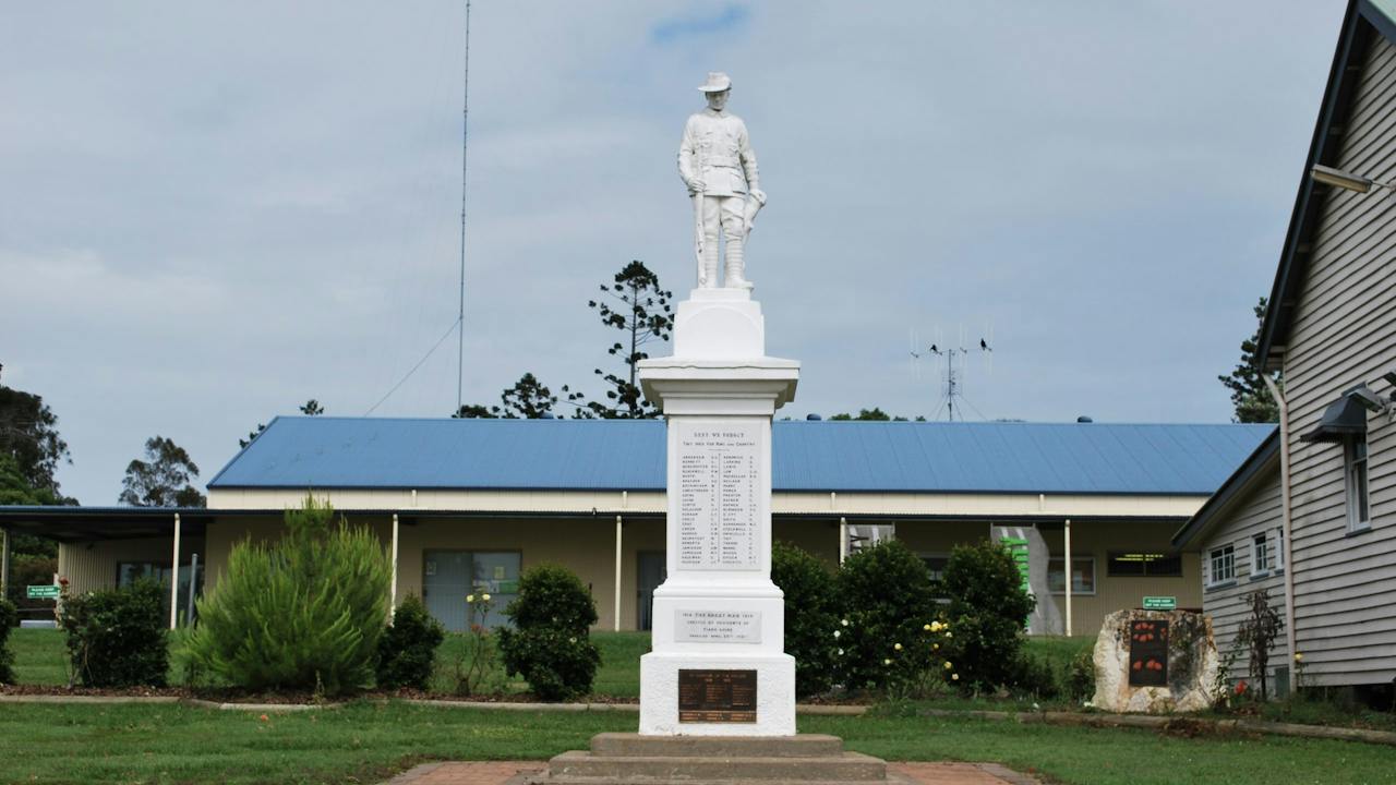
The War Memorial, with a digger statue, commemorates those who served in World Wars One and Two and the South African (Boer) War. It also contains a tablet to commemorate King George V.
It was originally erected by the residents of Tiaro to commemorate those who served in World War One and unveiled on ANZAC Day 1921. The front of the memorial contained a list of the fallen with honour rolls of those who served on the remaining sides. An additional plaque was added to the front of the memorial at a later date to commemorate the fallen of World War Two. A Boer War Veterans plaque has also been added.